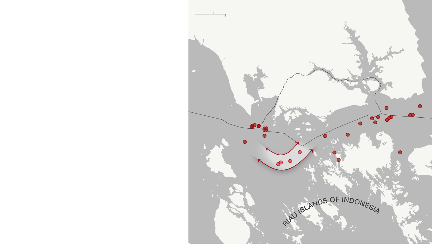
MALAYSIA
SINGAPORE
Malacca Strait
Singapore Strait
Malaysia
Singapore
Indonesia
Indonesia
10 mi
0
0
10 km
Ships must slow to navigate turn
Indonesia
Malaysia
2019

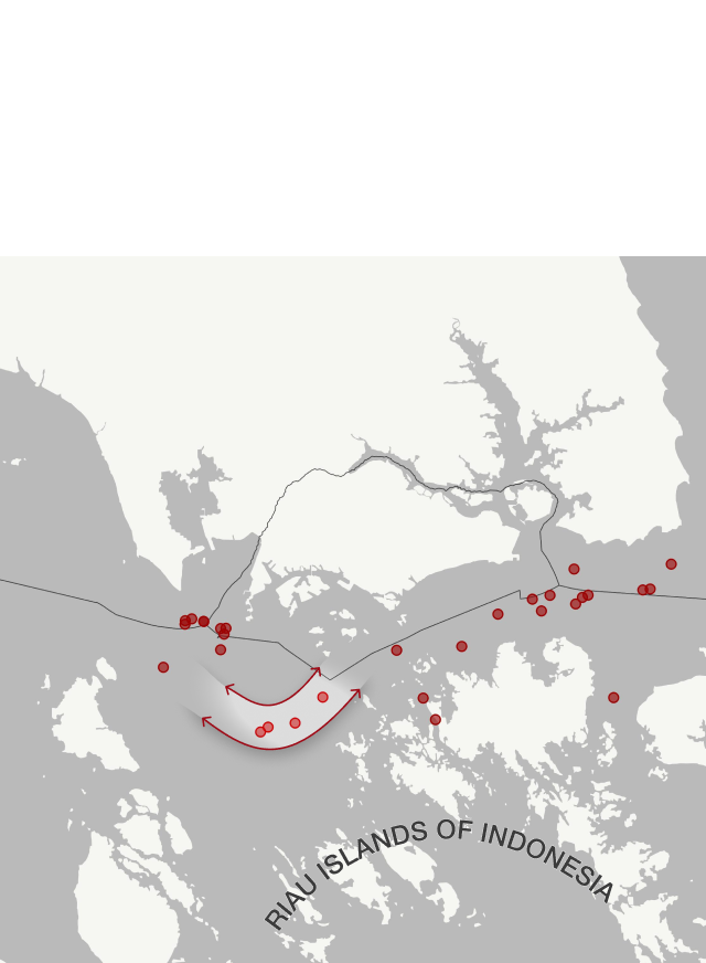
MALAYSIA
SINGAPORE
Malacca Strait
Singapore Strait
Malaysia
Singapore
Indonesia
Indonesia
10 mi
0
0
10 km
Ships must slow to navigate turn
Indonesia
Malaysia
2019
MALAYSIA
SINGAPORE
Malacca Strait
Singapore Strait
Ships must slow to navigate turn
2019